Detecting anomalies with Thermal mapping?
Capture and increase your data collection at driving speed
Capture the unseen reality with Thermal mapping
Discover a whole new world with the incredible technology of infrared cameras for mobile mapping. Thermal mapping not only helps in detecting and mapping heat patterns but also assists in identifying energy loss, detecting leaks, and locate failing assets.
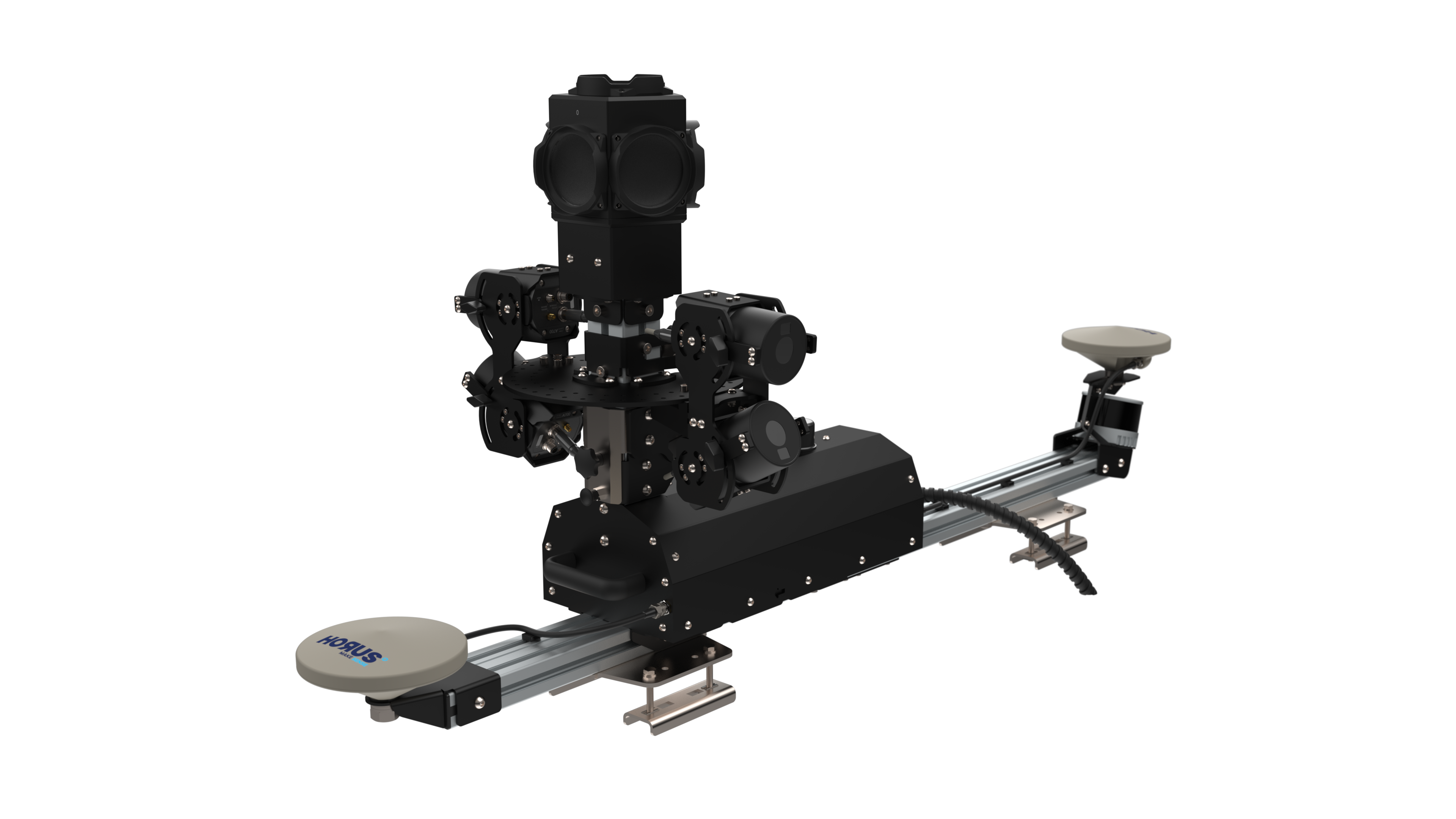
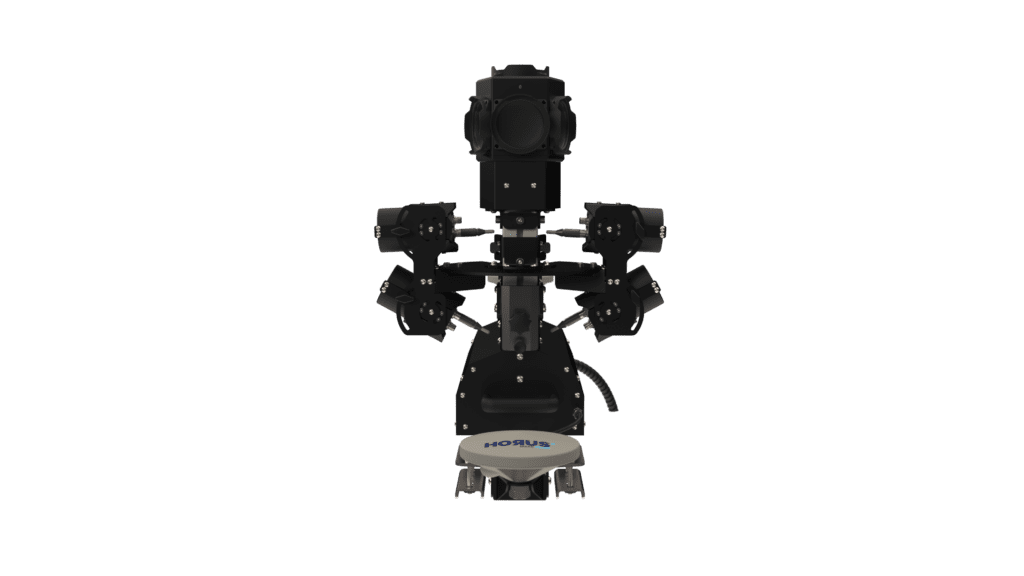
Use the capabilities of thermal mapping with the Horus Thermal Extension. Generate geographical map and transform them into actionable insights. Unlock efficiency and maximize impact.
We help housing providers with decarbonising social housing
IRT Surveys, based in the UK, assists housing providers to improve energy efficiency without wasting time and money. After being acquired by the Mears Group PLC the door was open to explore new technology to take thermal mapping to the next level. With the Horus thermal extension they managed to go from 300 homes per night to 10.000. Adding AI to this package, to avoid manual inspection, Thermal mapping is a real game changer in the housing sector saving both money and time.
Source: https://irtsurveys.co.uk/
Applications
Thermal Extension
History of Integration
Horus, a pioneer in mobile mapping in the Netherlands, developed their advanced mobile mapping systems over 12 years ago. We designed our underlying Horison Framework software to be flexible, compatible with various components, and ready for future changes.
We are well-prepared to handle projects that require the latest technologies. In the Netherlands, we’ve successfully captured multiple cities with thermal mobile mapping systems for governements, infrastructure, and utility companies.
Looking for an efficient solution to capture insights with thermal mobile mapping?
Tell us about your use case.